Alan Leidner was almost to his office when his train reversed course...
When he left the next-closest station and saw smoke, he turned around and walked back to his apartment. That's when he got a call from the director of New York City's Office of Emergency Management ("OEM").
By the end of the week, Leidner and his team of mapmakers were being guarded by armed patrol boats and soldiers with automatic weapons.
You see, Leidner was the director of the citywide geographic information systems ("GIS") utility in Manhattan. He and his team had collected a ton of data about the city's geographic landscape.
So when the 9/11 terrorist attacks destroyed OEM's nearby building, it was down to Leidner and his team to aid first responders.
Two years earlier, the group had given every city agency access to NYCMAP – a "base map" of Manhattan made from more than 7,500 aerial photos.
NYCMAP was a good start. But the victims and their families needed all the help they could get... fast.
GIS scientists worked until midnight to map out Ground Zero the very first night...
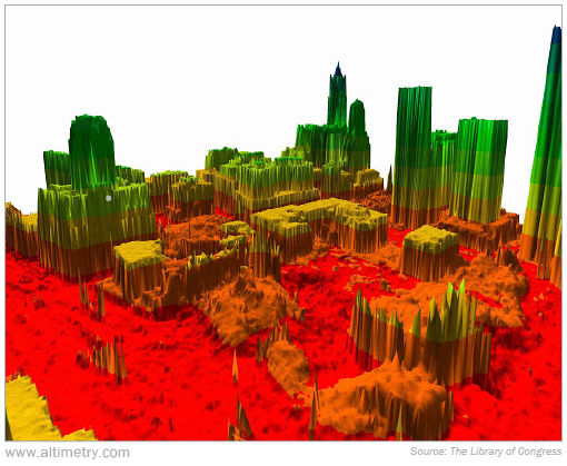
Within a week, more than 100 folks joined the team. Using a technology called light detection and ranging ("LiDAR"), they created intricate 3D models of the crash site like this one...
The team was so critical to recovery efforts that its headquarters was considered a prime terrorist target. They worked 24/7 as armed guards watched the building.
And their efforts brought the power of GIS technology front and center...
In the following days and weeks, the GIS scientists fielded more than 1,100 data requests. They made maps of everything from flooded subway tunnels to the locations of human remains. They identified nearby buildings that could be used as temporary morgues.
They even located underground tanks of freon gas (used in air conditioning) and leveraged thermal imaging to find nearby fires. Firefighters were able to put them out before a potential explosion.
Having a live central map of the entire city helped first responders work safer and faster... and likely saved countless lives in the aftermath of the attacks.
Mapping out cities is only the beginning of what GIS technology can do...
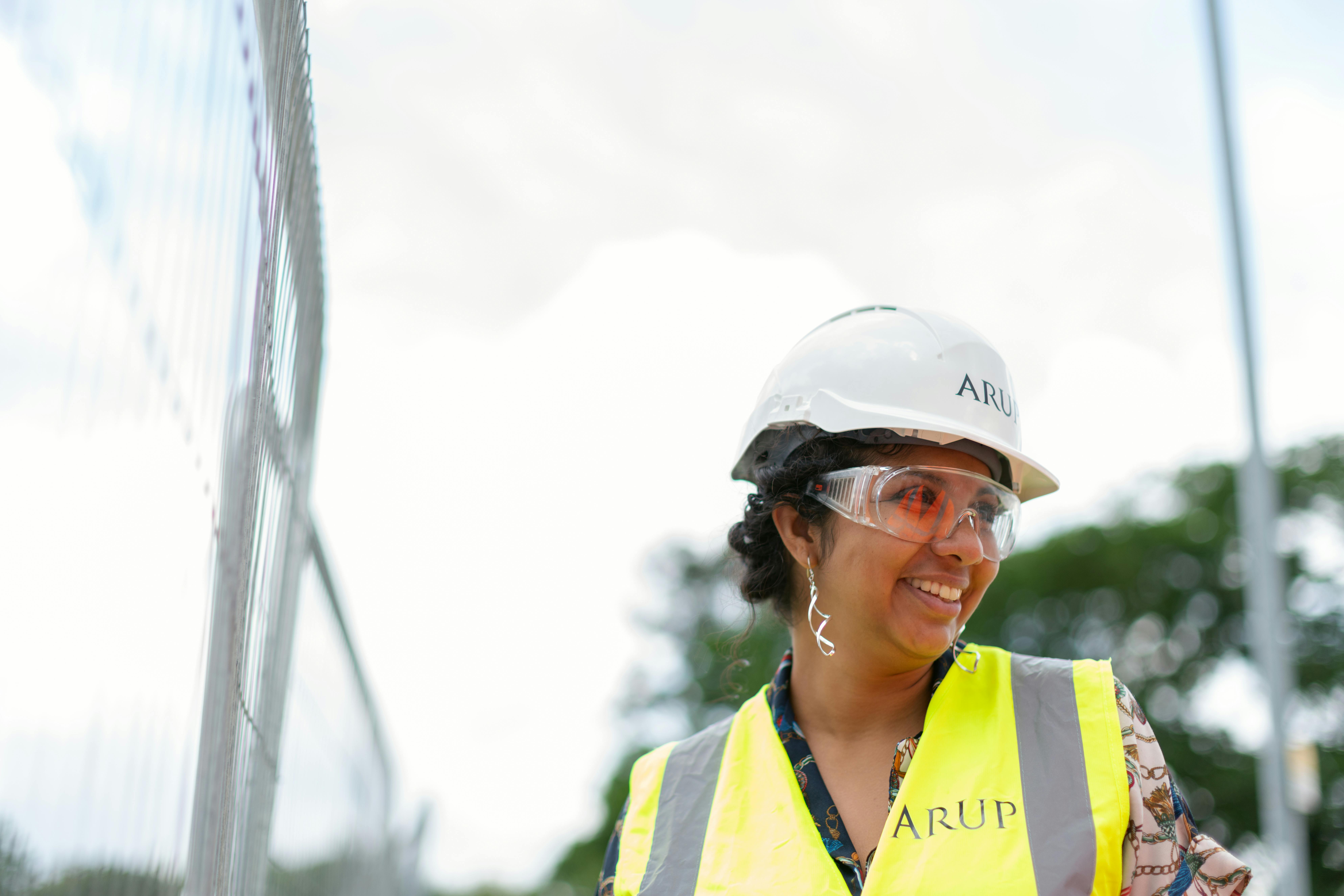
After September 11, GIS started making its way further into the mainstream. It's now part of a broader trend called "geospatial engineering," which ensures construction projects are efficient and safe.
You'll find GIS tech behind everything from new airports to oil wells. It's used to survey the land before even breaking ground... so construction crews know of any potential risks hiding under the surface.
It can warn them of large rocks that could delay construction today... or soil erosion that could require costly repairs decades down the road.
And during the construction process, the software can help make sure all the different crews stay on schedule.
The U.S. will rely on GIS more than ever as we upgrade our nation's infrastructure...
We're gearing up for a huge wave of domestic construction projects... because we've underinvested in our supply chain for the past two decades.
More than 7% of U.S. bridges are considered "structurally deficient." There's a water main break every two minutes... translating to an estimated loss of 6 billion gallons of treated water every day.
Corporate America is facing similar problems. Companies spent much of the past 15 years moving infrastructure overseas. They haven't paid much mind to what's left on our shores.
In 2001, corporate assets were roughly 41% depreciated... meaning they were worth about 60% of their original value. Since then, assets have gotten older and their net value has continued to fall.
That depreciation figure sits at 54% today. Said another way, corporate assets are at their oldest level in more than 20 years.
It will take well over $500 billion to bring asset values back to 2001 levels. And someone has to make sure all those roads, bridges, and factories are upgraded correctly.
That's GIS's bread and butter... The companies that specialize in GIS should expect more business than they can handle over the next few years.
Regards,
Joel Litman
April 16, 2024